Visual Comparisons
I was struck by a couple of the pictures in a photo essay that accompanied this Washington Post, article on Monday.Natives Feel Left Out of China's New West
"...Before the highway arrived last year, threading a strip of black pavement across a moonscape of pale sand, this town in central Xinjiang province was among the lonelier places on earth...
"More than twice the size of Texas, Xinjiang has long occupied the fringes of Chinese domain, its inhospitable deserts once navigated by traders crossing the Silk Road from Europe to Asia. Today, a trip across the province reveals how the benefits of development are being spread unequally, even inside Xinjiang itself..."
"The great build-out of highways and the expansion of energy production encouraged by Beijing's largesse have attracted millions of Han, who have come in a Gold Rush-like frenzy to capture some of the spoils of China's modern-day frontier. The Han are now a slim majority among Xinjiang's 19 million people. That has exacerbated tensions with the Turkic-speaking Uighurs, who have long regarded the Han as invaders..."
The link to the photo essay is next to the article. One of the photos that attracted my attention showed three Tajik women crossing the shoulder of a paved road while carrying buckets of water to their homes. In the background, an electical power line shows that it is not a lack of electricity that prevents these people from having a more convenient water supply. That's a matter of public policy -- especially in China.
The second photo that I particularly noticed showed a road construction crew. It wasn't just that men were doing a job that in the US would be done by a large machine that made me take note. The men were wearing bright orange safety vests just as if they had been working along the shoulder of an Interstate highway. In addition, a solid white line marked the right edge of the traffic lane even though that section of the road wasn't paved. Finally, the outer edge of the right of way was marked with slim poles. Like high altitude roads in the US, these are probably to help vehicles stay on the road when it's covered with snow. How many examples of public policy are in that photo?
What if you asked students to look at a variety of photos from a place like Xinjiang for signs of public policy? And then asked them to hypothesize about how the policies were made and then asked them to compare the evidence of policies from Xinjiang with similar evidence from Ardabil, the Iranian province on the border with Azerbaijan?
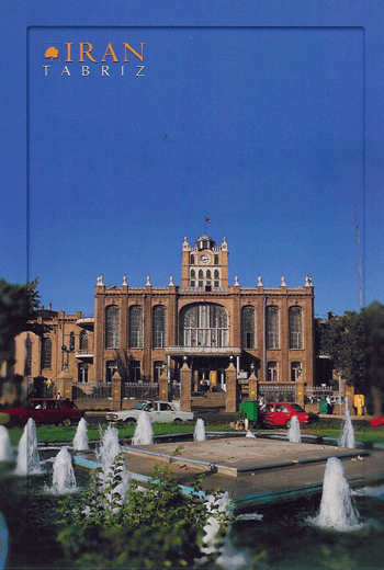 I did Google Image searches for Urumqi and Tabriz, the major cities in those two provinces. I looked at the results in the first 10 pages of images for both. These are safe searches to send students on. Except for the fact that half the images from Tabriz are of "Persian carpets," there is a lot of material with which to work. There are pictures of Tianchi (which looks a lot like Glacier National Park's Lake McDonald) and Iranian public buildings which could be bureaucratic anywhere.
Exploring the political meaning of photographs and making comparisons from them is unorthodox, but useful. Like reading a novel by Chinua Achebe about a "Nigerian" military regime, looking at photographs offers another perspective. And if your students have access to a computer lab, can be an "in-school field trip."
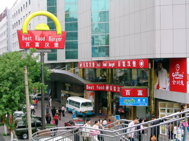
And there's always the chance to run into cross-cultural marvels like this.
posted by Ken Wedding @ 10:54 AM
![]()
![]()


0 Comments:
Post a Comment
<< Home